Limnology
ช่องการศึกษา
สำรวจ
ค้นหาช่องที่คล้ายกัน
🇹🇭 ไทย
🇺🇸 English
🇪🇸 Español
🇷🇺 Русский
🇧🇷 Português
🇸🇦 العربية
🇰🇷 한국어
🇫🇷 Français
🇹🇷 Türkçe
🇩🇪 Deutsch
🇮🇩 Bahasa Indonesia
🇵🇱 Polski
🇮🇹 Italiano
🇨🇳 中文
🇯🇵 日本語
🇻🇳 Tiếng Việt
🇧🇩 বাংলা
🇱🇰 සිංහල
ช่อง Youtube ถูกใจ GIS & RS Solution
GIS & RS Solution
17,300
2.63
%
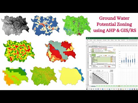
Identification of Groundwater Potential Zone using GIS/Re...
Study Area Mapping | Create Map Layout in ArcGIS
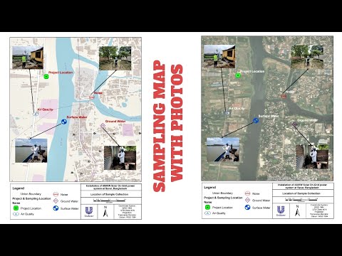
Sampling/Monitoring/Survey Map with Photos
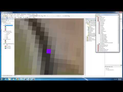
View and Edit Attribute Table in ArcGIS Pro (Tutorial 3)
Referencing: How to Format in Hanging Indent & Alphabetic...
How to Create & Edit Feature Class in ArcGIS Pro (Tutoria...
GeoDelta Labs
47,800
2.23
%
How DeepSeek AI Helped Me Create Maps Effortlessly
A Complete Beginner's Guide to ArcGIS Desktop (Part 1)
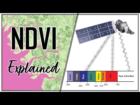
Calculating NDVI using Satellite Imagery with QGIS
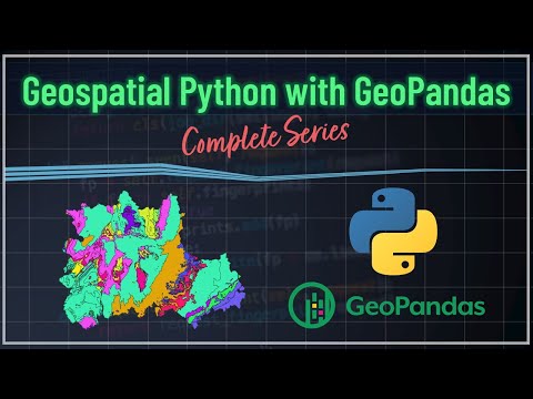
Geospatial Python with GeoPandas - Introduction
Basic Conda Commands and Installing Visual Studio Code (V...
Background, Installing Python & Introduction to Conda Env...
MIT OpenCourseWare
3,390,000
1.13
%
1. Introduction to the Human Brain
How to Speak
How opening learning can close knowledge gaps with June O...
Alleviating poverty and sharing knowledge globally with E...
AI + Open Education Initiative: AI Literacies and Evaluation
AI + Open Education Initiative: Professional Education an...
Learn GIS & R
6,010
1.72
%
ArcGIS 10.8 download with CRACK and install on windows | ...
GIS Tutorial | Part 1 | How to make a shapefile or study ...
Top 5 data sources to download spatial data | Download sh...
GIS Tutorial | Part 08 | Create Spatial Distribution Map ...
Guantanamera | Sister Sister | Bohemeo's
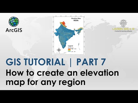
GIS Tutorial | Part 7 | How to create elevation map for a...
GeoTech Studio
5,130
2.77
%
Removing Scan Line Error of Landsat 7 Using ArcGIS Lands...
A Complete Beginner's Guide for QGIS 3 || QGIS for Beginn...
Introduction to R || Interface|| R Series || Video 1|| @g...
ArcGIS Model Builder || How to create Simple Model in Arc...
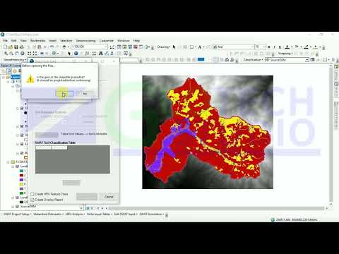
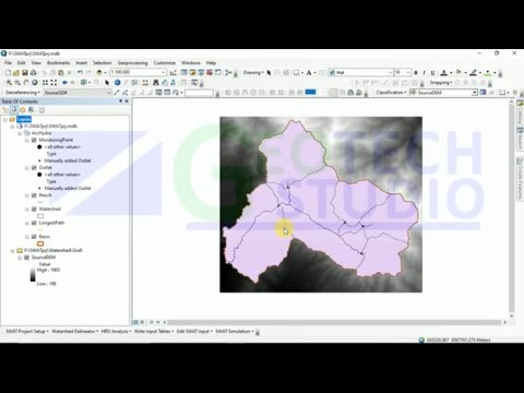
Land Use,Slope and Soil definitions||HRU analysis || Part...
LULC Text File Preparation || Project Setup || Watershed ...
Moulay Anwar Sounny-Slitine
5,050
0.9
%
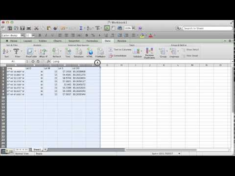
How to Convert Lat Long in DMS to Decimal Degrees in Excel
How to make a simple map in ArcMap
What Is Geography? The Surprising Science of Where, Why T...
hosting a webpage on GitHub Pages Hello World
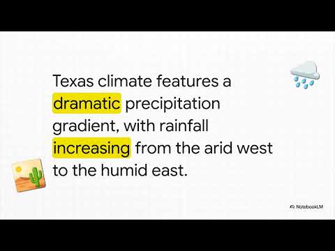
The Wild Weather of Texas
Texas Lone Star State
Map & GIS Library
5,090
0.45
%
Georeferencing in ArcMap Tutorial
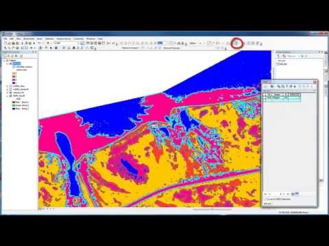
Accuracy Assessment of an Image Classification in ArcMap
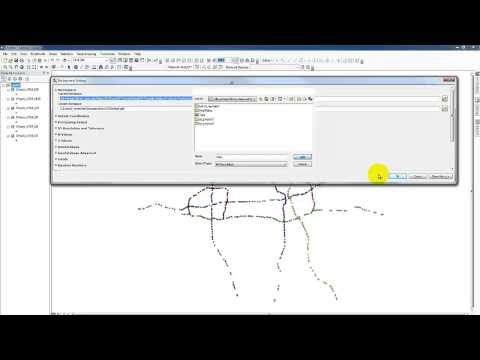
Re-Projecting Multiple Shapefiles
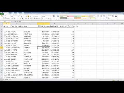
Formatting an Excel file for ArcMap
Unsupervised Image Classification in ArcMap
Changing projections of XY data from Decimal Degrees to a...
Related Keywords